
Aerial Photos
Knox-Lincoln SWCD has a collection of aerial photos of Knox and Lincoln counties, including the following years:
1940s - 1950s
1966 (stereoscopic)
1980
1991
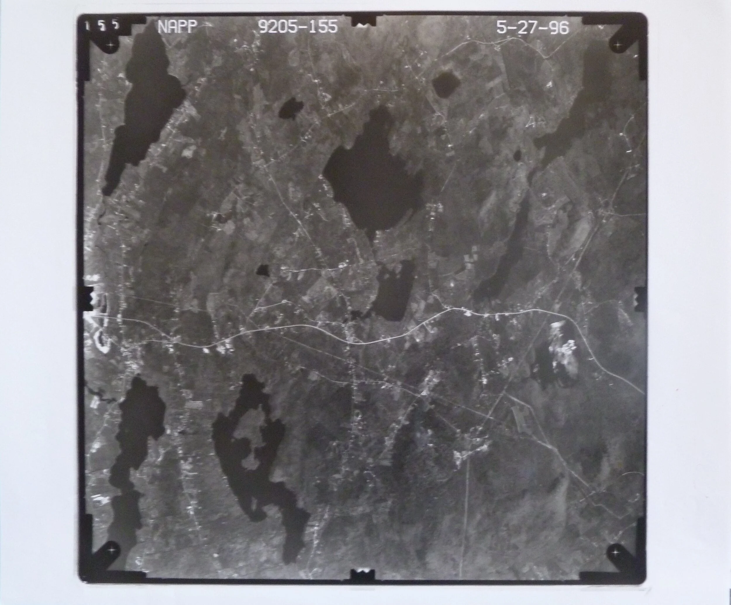
1996
1998 (ice storm photos)
Viewing and Copies
Aerial photos may be viewed by the public at the District office during our regular business hours.
We can provide photocopies or scan and email sections of these photos to you.
Please call the office to make sure that someone is available to give you access.
893 West St. (Rt 90)
Rockport, ME 04856
207 596 2040
info@knox-lincoln.org
Additionally
Aerial color slides of Knox (1993), Lincoln (1993), and Waldo counties are available from the Farm Service Agency office in Augusta.
Soil Survey Reports, including soil maps, descriptions, and uses for each type are available at Knox-Lincoln SWCD office in Rockport.
Floodplain Maps and/or Flood Insurance Studies are available for each town in Knox and Lincoln counties at the Knox-Lincoln SWCD office in Rockport.
U.S. Geological Topographic maps are available for viewing in our office.